¡VAMOS! & UNEXMIN joint conference, Bled
On the January 30, the Hotel Kompas in Bled, Slovenia, hosted the “Use of Robotics and Automation for Mineral Prospecting and Extraction”, a joint conference of UNEXMIN, ¡VAMOS! and Real Time Mining Projects. The conference was led by Gorazd Zibret from the Geological Survey of Slovenia. The 1-day conference featured the latest research in a variety of topics related to robotics and automation and their application to exploration and extraction of mineral raw materials. It started with a plenary session featuring presentations such as “Advances in Subsea Mining” (Stef Kapusniak) and “Future Mining: Scenarios and Roadmaps (an international review)” (Marco Konrat Martins, LPRC).
The conference was then divided into two parallel sessions: one related to Hardware developments moderated by Norbert Zajzon (University of Miskolc) and the other related to Software developments moderated by Steve Henley (Resource Computing International).
After the lunch break, the conference resumed with a plenary session introducing the leading projects. LPRC presented “UNEXMIN project: an underwater explorer for flooded mines” (Luís Lopes).


UNEXMIN / ¡VAMOS! workshops
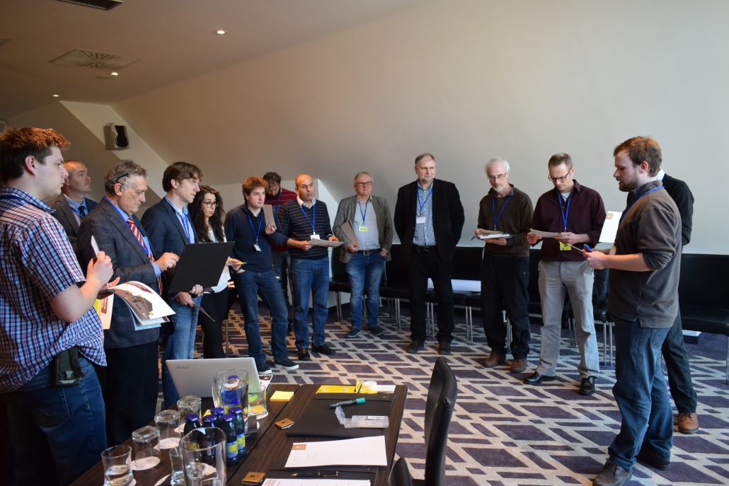
During the afternoon, the participants were divided in two interactive workshops: one dedicated to exploitation of the technologies, the other to future research and technology roadmap planning.
On the exploitation workshop participants were called to answer three questions. The input will then be used to adapt better exploitation measures for both projects. The questions were: (1) What is the best the best exploitation strategy for project participants?, (2) How to persuade customers to buy/invest into new technologies? and, (3) How and where to get additional funds for the projects’ development?.


The research roadmap workshop focussed on analysing future scenarios and how the technologies can adapt to specific changes in the raw materials sector. Then, participants helped in the identification of future prospects in three main areas: geological data collection, spatial awareness and navigation, and extraction. The data will be used to define possible research/technology pathways for both projects for the short, medium and long-term future.


 ROBOMINERS

